Friday, July 16, 2010

Spruce Knob (West Virginia Highpoint)

Last night turned out to be a pretty big adventure in and of itself.  I wanted to get all the way to Elkins, WV so we could have a good run at WV, MD and PA before heading north and finishing our drive.  So, I kept myself awake and powered all the way to Elkins arriving around 1:00am and planned to get a hotel room and crash for the night.  Easier said than done.  The first hotel I stopped at had no vacancies.  Then the second had none.  Then more of the same at the third, fourth, fifth and sixth.  Admittedly, I hadn't anticipated that Elkins, WV of all places would be sold out!

Luckily for us, a nice lady at the Super 8 referred us to the Days Inn where they had one "interior" room.  Beggars can't be choosers so we took it.  It turns out this hotel has been converted from an old hospital. Our room literally had no exterior window but did have a window that opened into a hallway.  It was odd to say the least.  I can't say I will be recommending the accommodations to anyone else but I was grateful to have a bed nonetheless!


After a late breakfast, Sy and I drove the twisting roads to Seneca Rocks and then south to Spruce Knob park and the summit!  The drive was really nice and I was happy to be back in the wooded mountains I enjoy so much.


The highpoint has an observation tower on top that Sy and I both enjoyed especially because the views were pretty clear.  The landscape reminded me a lot of that in New England.


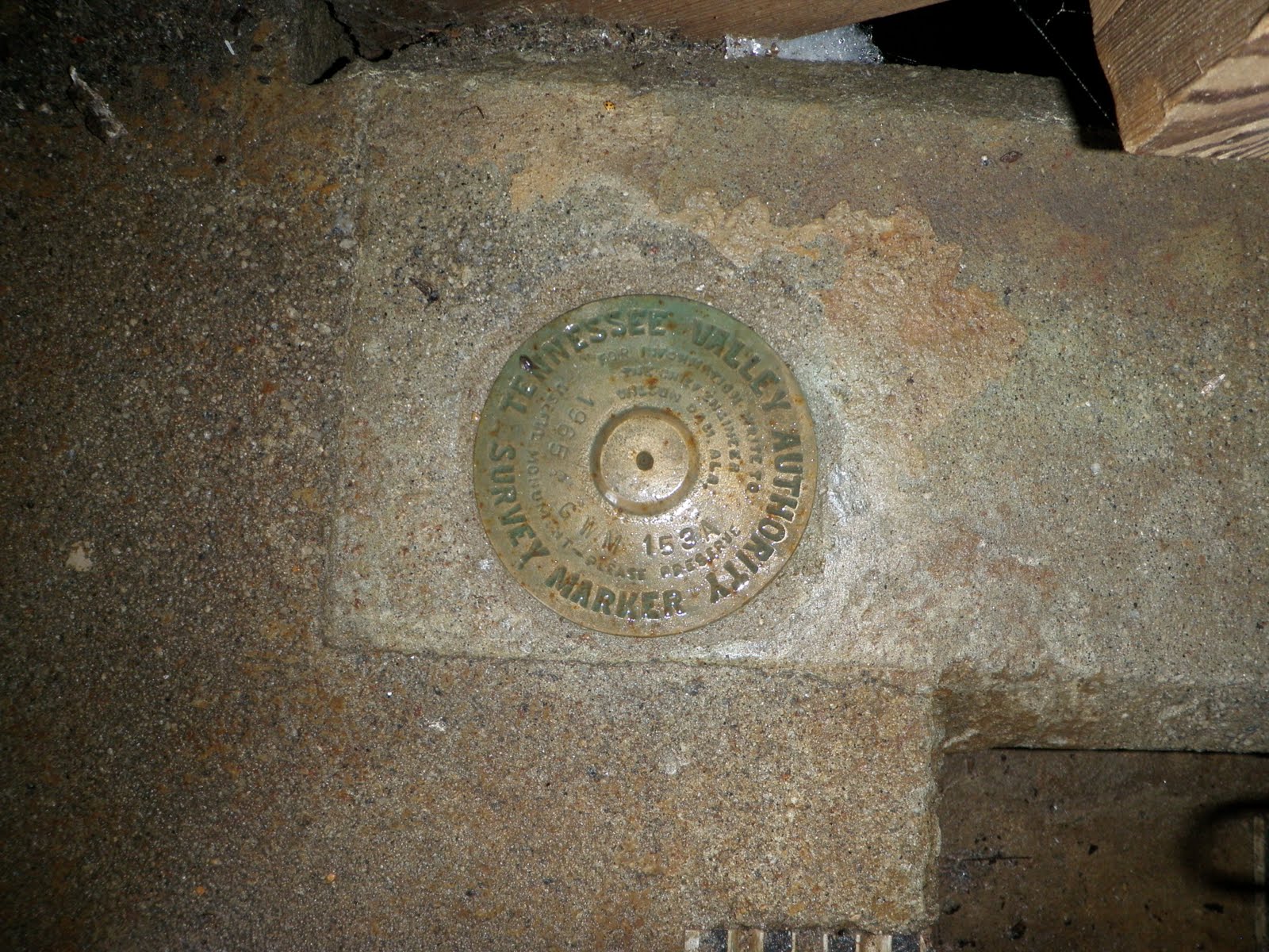
Sy had a proud moment when he was the first to find the benchmark after I had wandered for a few unsuccessful minutes of searching.  Good going, Sy!

Thursday, July 15, 2010

Campbell Hill (Ohio Highpoint)


Campbell Hill is another "drive-up" highpoint so getting there was pretty straightforward. 

The only potential confusion point is that it is located just off a parking lot in a vocational school for adults.  Even with this added complexity, it is pretty obvious where the top of the hill is.  We just kept following the drive that went up and we ran right into the highpoint.  I imagine as long as the gates are open to the school, this should be an easy one for others to find.

One thing I liked about this particular highpoint was the historical information that was included.  If you paused to read the signage, you would learn the marble stone adjacent to the benchmark was the one originally placed there and you would also learn that Campbell Hill was once an important military site during the Cold War.


Once again, after snapping a few shots, we were on our way!

Hoosier High Point (Indiana Highpoint)


Getting to Hoosier High Point was pretty straightforward and there was pretty good signage along all the approach roads.... right up to the highpoint itself. 


It was odd that the final turnoff and highpoint itself would be so poorly marked given how good signage from the main roads had been.  It did look like there had been a sign of the highpoint at some point but there were just two signpost stumps to the east of the highpoint.  I confirmed that there was a sign there as recently as June 2, 2010 using a YouTube video so we may have just recently missed it!  No big deal, though, because the book Anne had given me gave good directions so I knew to turn off the road at the edge of the wooded area.

After snapping a couple of pictures and taking a moment to sign the register, we hit the road!  We wanted to hit Campbell Hill, OH that afternoon before heading to WV.

Wednesday, July 14, 2010

Hawkeye Point (Iowa Highpoint)


Sy and I have been driving from Utah to New York for a couple of days with a canoe strapped on the roof of the Saturn Ion.  It has been a lot of fun... all except for the high winds in Wyoming almost blowing the canoe off of the car and the little kidney stone passing issue in North Platte, NE.  Other than that it has been great!

The important thing is that there is now way I was going to drive across the country and not hit a few more highpoints!

Hawkeye Point, though a few hours off of I-80, was the first one within striking distance of our route.  Note: Sy and I hit Panorama Point, NE a few months ago.

This one was as "drive-up" as they come.  I understand the farm owner recently donated the land at the actual highpoint to the government (local/county/state?) and it was obvious some recent development had been done to improve the site.  Signage was also excellent on the approach roads. 

These midwest "highpoints" make me chuckle a little as the elevation is barely distinguishable from the surrounding terrain.  Guess I just need to trust the surveyors!  Regardless, it is always fun to do a little bit of route finding and enjoy the tour of a new place as I work to arrive at the goal.

Tuesday, June 1, 2010

Mount Mitchell (North Carolina Highpoint)


Luckily our drive to Mount Mitchell was much less eventful than the drive we had just finished to Sassafras Mountain.  Anne's patience must know no limits because she was still on board with hitting North Carolina's highpoint after the South Carolina disaster.


I am glad she did too because this drive was a classic drive down a beautiful, historic highway ending with a sunset on the top of a mountain!  There is only one way to get to Mount Mitchell and it is along the Blue Ridge Parkway, a national parkway and part of the US National Park Service.  As we drove along, I felt just like I was back on the AT in Vermont.  Thick forested, damp, green mountains which hug and almost suffocate you and then unannounced lay out a spread of beautiful views for the taking.  Although it was beautiful, we didn't have a ton of extra time because the state park (and the summit) closed at 9:00pm and we were pushing the deadline.


We eventually pulled up into an empty summit parking lot at 8:45pm just behind the park ranger who was up there to close things up.  He let Soren and I walk the couple hundred yards to the summit where we snapped a couple of pictures and soaked in the sunset before jumping in the car and heading out at 8:59pm!

Although we will be within striking distance of the highpoints of West Virginia, Maryland and Pennsylvania tomorrow, I think it would be wise to call it a week and make that trip another day.....

...... on to our family's new life in New York!!!!

Sassafras Mountain (South Carolina Highpoint)


After hitting Brasstown Bald, the family jumped into the car and headed east toward South Carolina.  Our next goal was Sassafras Mountain.  If bagging Georgia's highpoint was easy and uneventful, getting to South Carolina's was the opposite.  Admittedly, I caused most of the trouble.... as usual!

It didn't start well.... after grabbing lunch for the boys, I made a wrong turn somewhere in northern Georgia. Mistake #1.  I corrected it after about 20 miles or so but still....  From there the drive was pretty uneventful and we eventually approached the junction of SC 11 and US 178 in South Carolina about 10 miles south of our goal.

Mistake #2.... even though I had less than a quarter tank of gas I chose not to stop at the station that was right there.  I figured I had plenty.  Instead I plowed forward.  The next 10 miles ended up being very steep and loaded with very sharp turns which had to effects (a) low fuel efficiency and (b) Sy complaining of some car sickness.  

Mistake #3 occurred when I shot past the turn off to Sassafras Mountain ending up a few miles into North Carolina before turning around.... all the while, burning up the little fuel we had.  Not a huge mistake under normal circumstances but under these conditions (i.e. low fuel, sick kid, increasingly frustrated spouse) it was a dangerous cocktail.  This all leads me to my mistake of omission....

Mistake #4 - I should have just pulled over!  Look... when I am out on my little adventures, I get a little bit crazy with achieving the goal (exhibit A - Mt. Datun, Taiwan  and exhibit B - Taum Sauk MT, Missouri)

I know it can be stupid but the adrenaline rush of route finding, problem solving and sometimes just pushing through can be exhilarating.  That is fine and dandy when I am flying solo or when I am with a like minded crazy person but is whole other matter when I drag the family into it.  Anyway, needless to say, Sy eventually threw up into his blanket just under a mile from the summit.  Of course, then it was time to clean up. Anne is not happy with me. We are still low on gas (like getting past the E).

After doing some damage control, we reached the parking lot on top, finished the short walk to the summit, in a swarm of mosquitoes, and Anne graciously gave me about 30 seconds to snap a picture or two before she started heading down.  I didn't deserve more than that!  We happily made it the 7 or so miles north into North Carolina and a gas station.  I am also glad to report that Anne has decided to stay married to me!

All is well that ends well..... errrrr, right?!

Brasstown Bald (Georgia Highpoint)

Memorial Day weekend with the Hansen family was awesome.  We hung out, had Sy & Kate's birthday party, attended Kate's baptism, went to a Braves game, and had fun swimming.  The Hansen & Anderson grandparents were both there and we all enjoyed the mini-family reunion.  

On Tuesday, it was time to continue our trek to New York.... with a few highpoints along the way, of course!

Our first stop was Brasstown Bald in Georgia.  Like many of the highpoints in the southeast, this one is also a state park/national forest with maintained facilities so driving close to the top is possible.  After taking a short shuttle from the parking lot to the peak, we paused to take a few pictures and explore.  After unsuccessfully looking for a benchmark, I finally asked a ranger for some help.  It turns out the benchmark is just behind a locked door which doubles as an entryway to private quarters for some of the park staff.  He was nice enough to let me have a look.


It was a beautiful day and the boys and I opted to hike down from the peak to the parking lot instead of jumping on the return shuttle.  It was fun to stretch our legs and enjoy a beautiful day before jumping back in the car!