Tuesday, June 1, 2010

Sassafras Mountain (South Carolina Highpoint)


After hitting Brasstown Bald, the family jumped into the car and headed east toward South Carolina.  Our next goal was Sassafras Mountain.  If bagging Georgia's highpoint was easy and uneventful, getting to South Carolina's was the opposite.  Admittedly, I caused most of the trouble.... as usual!

It didn't start well.... after grabbing lunch for the boys, I made a wrong turn somewhere in northern Georgia. Mistake #1.  I corrected it after about 20 miles or so but still....  From there the drive was pretty uneventful and we eventually approached the junction of SC 11 and US 178 in South Carolina about 10 miles south of our goal.

Mistake #2.... even though I had less than a quarter tank of gas I chose not to stop at the station that was right there.  I figured I had plenty.  Instead I plowed forward.  The next 10 miles ended up being very steep and loaded with very sharp turns which had to effects (a) low fuel efficiency and (b) Sy complaining of some car sickness.  

Mistake #3 occurred when I shot past the turn off to Sassafras Mountain ending up a few miles into North Carolina before turning around.... all the while, burning up the little fuel we had.  Not a huge mistake under normal circumstances but under these conditions (i.e. low fuel, sick kid, increasingly frustrated spouse) it was a dangerous cocktail.  This all leads me to my mistake of omission....

Mistake #4 - I should have just pulled over!  Look... when I am out on my little adventures, I get a little bit crazy with achieving the goal (exhibit A - Mt. Datun, Taiwan  and exhibit B - Taum Sauk MT, Missouri)

I know it can be stupid but the adrenaline rush of route finding, problem solving and sometimes just pushing through can be exhilarating.  That is fine and dandy when I am flying solo or when I am with a like minded crazy person but is whole other matter when I drag the family into it.  Anyway, needless to say, Sy eventually threw up into his blanket just under a mile from the summit.  Of course, then it was time to clean up. Anne is not happy with me. We are still low on gas (like getting past the E).

After doing some damage control, we reached the parking lot on top, finished the short walk to the summit, in a swarm of mosquitoes, and Anne graciously gave me about 30 seconds to snap a picture or two before she started heading down.  I didn't deserve more than that!  We happily made it the 7 or so miles north into North Carolina and a gas station.  I am also glad to report that Anne has decided to stay married to me!

All is well that ends well..... errrrr, right?!

Brasstown Bald (Georgia Highpoint)

Memorial Day weekend with the Hansen family was awesome.  We hung out, had Sy & Kate's birthday party, attended Kate's baptism, went to a Braves game, and had fun swimming.  The Hansen & Anderson grandparents were both there and we all enjoyed the mini-family reunion.  

On Tuesday, it was time to continue our trek to New York.... with a few highpoints along the way, of course!

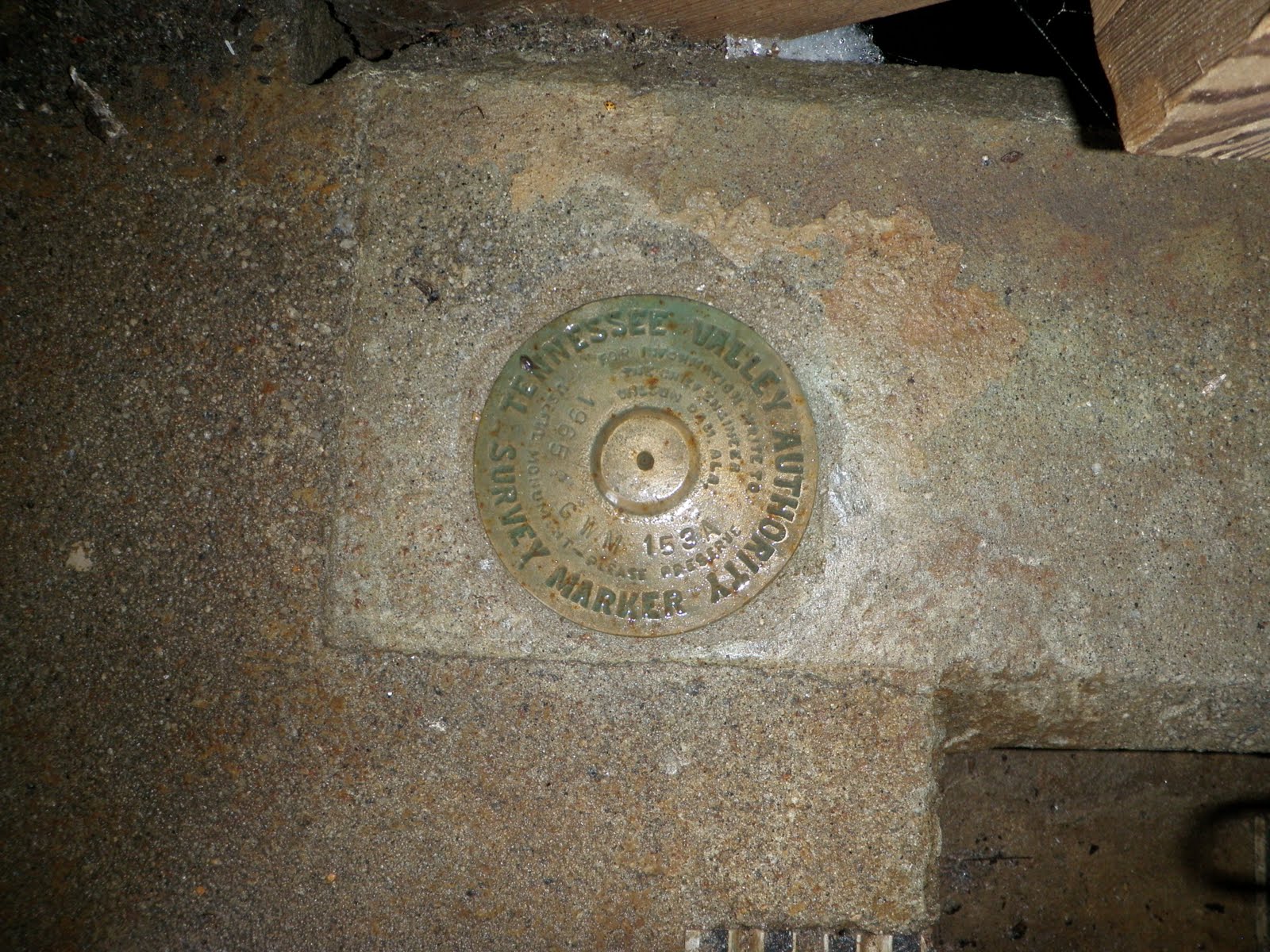
Our first stop was Brasstown Bald in Georgia.  Like many of the highpoints in the southeast, this one is also a state park/national forest with maintained facilities so driving close to the top is possible.  After taking a short shuttle from the parking lot to the peak, we paused to take a few pictures and explore.  After unsuccessfully looking for a benchmark, I finally asked a ranger for some help.  It turns out the benchmark is just behind a locked door which doubles as an entryway to private quarters for some of the park staff.  He was nice enough to let me have a look.


It was a beautiful day and the boys and I opted to hike down from the peak to the parking lot instead of jumping on the return shuttle.  It was fun to stretch our legs and enjoy a beautiful day before jumping back in the car!


Saturday, May 29, 2010

Cheaha Mountain (Alabama Highpoint)


We had a pretty uneventful drive from Rutledge, AL to Cheaha State Park today but it was interesting to see things change as we went north.  We left behind the coastal areas and eventually reached rolling hills and even honest to goodness mountains as we approached the state park.  The route we took from Lakewood Park in Florida required us to meander through a lot of very small towns and kept us off of freeways almost the entire time.  That made for a more entertaining drive.

This particular highpoint is much more developed than most.  There was a lodge, campgrounds, chalets, cabins, restaurant, observation tower and a number of other facilities which were all part of a state park on the mountain.  From my experience to this point, most highpoints don't have near that kind of development on them.  Well, I suppose this all made the place unique in its own right.

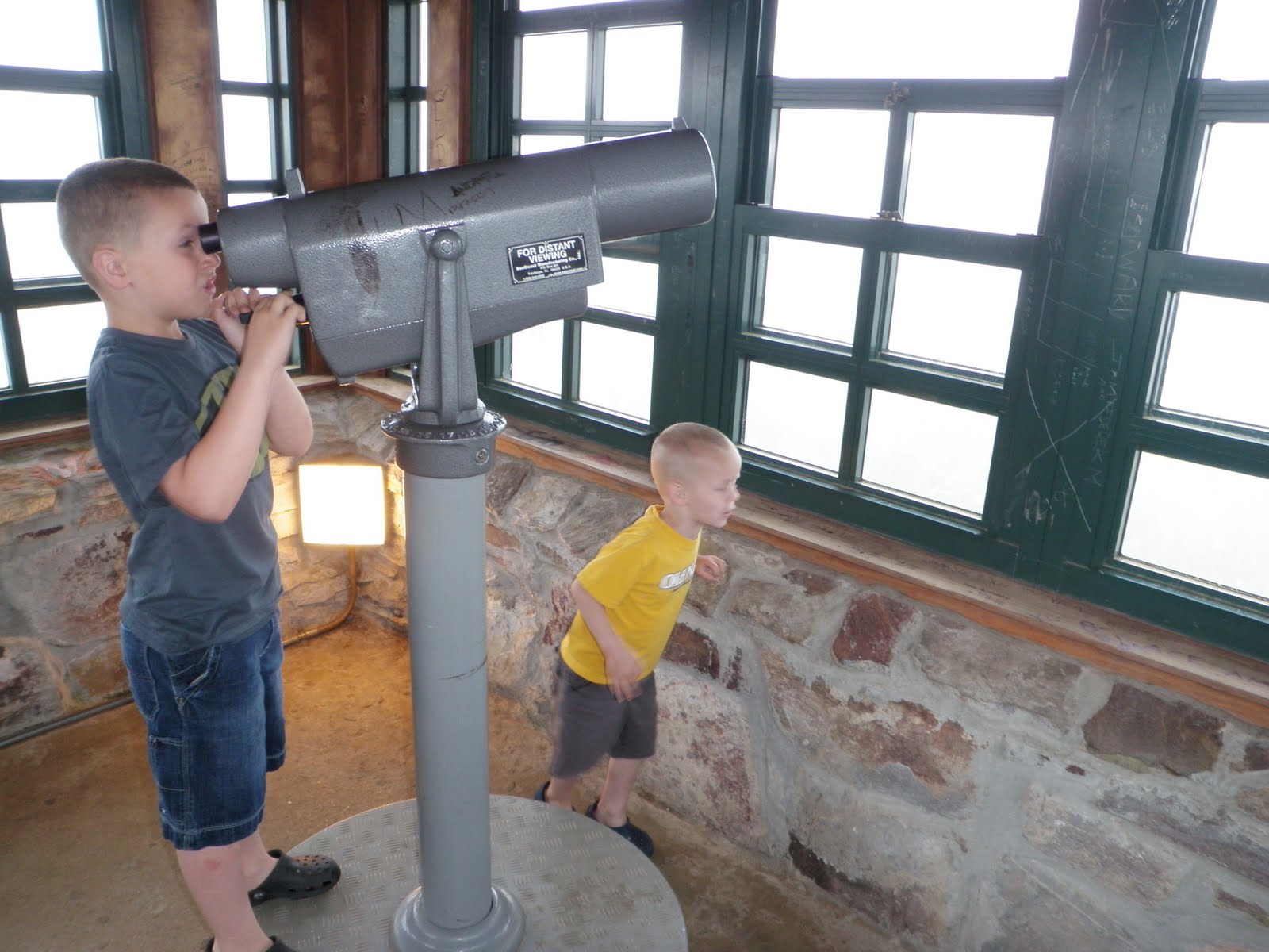
As you can see from the pictures, the highpoint was socked in with clouds while we were up there.  After climbing and descending the observation tower it also began to rain.  That was our signal to jump back into the car and head for Atlanta where we will be spending Memorial Day weekend with my sister, Carolyn, and her family.

Friday, May 28, 2010

Britton Hill (Florida Highpoint)

After reaching the Lousiana Highpoint this morning and making it back to the hotel, we were a little bit slow getting back on the road so I knew it was going to be tough getting to Britton Hill in Florida before it got dark.

As it turns out, the long drive, traffic in Mobile, and extended meal breaks all conspired to make us miss daylight at the highpoint by just around 30 min.  No matter though, we still arrived (a little after 8:00pm) and Sy and Soren joined me for a few pictures before jumping back in the car and working our way up north.


The funny thing about this highpoint is that I had been within a 30 min drive of this spot at least 4 times in recent years.  My family has had a couple of family reunions near Walton Beach just south of  here!  It may seem like a long detour for just this purpose but it felt good to achieve this highpoint... who knows when I will be in the area again!

Driskill Mountain (Louisiana Highpoint)


Now that I have graduated and we have a place lined up in New York, it is time to play a little!  Our moving truck came on May 24th but won't arrive in New York until June 3rd.  What do you do with all that time?  Well..... drive across the country visiting friends, family and state highpoints, of course!

Starting last Sunday, I left Provo, UT with Sy and Soren.  Anne caught up with us in Austin, TX and we spent a couple of days there visiting with friends, colleagues, and also checking in on our rental homes in town.  After a packed visit in Austin, we stopped in Houston to see my brother, CJ, and his family.  We had a great visit with them as well.

Now..... if you are in Houston and you are heading to Atlanta, you wouldn't exactly call Shreveport "on the way" ..... and even if you did, you wouldn't then head as far south as Pensacola, but that is exactly what we were about to do.  We headed north for about 5 hours and finally crashed at a hotel in Minden, LA around midnight.  Minden is about 30 miles NW of the LA highpoint.

I knew we had a full-day of driving ahead of us the next day so I woke up at 6:30am and finished the drive to Driskill Mountain while everyone was still sleeping.   While driving I reflected on how much just driving to these places is a part of the highpointing adventure.  Even the ones that don't require significant planning (i.e. Rainer, Granite, etc..) or long trail distances (i.e. Wheeler, Whitney, etc...) still bring a reward.  These places are pretty much always off the beaten path and you get a better feel for a place as you drive the country and local roads.  The directions are rarely as straight forward as they seem on paper and four wheel route finding is just part of it all.  Driskill Mountain was that kind of a highpoint.....

The trail head sits beside a graveyard and a local church in a rural Louisiana community.  The trail is surprisingly well maintained with excellent signage courtesy of a local Eagle Scout project.  The hike was about a mile each way.  Hiking it early was a good idea because even though I was in and out before 8:30am, the heat and humidity were already starting to have an impact.


In summary, it felt great to be making progress toward the highpointing goal again.  After being out west for a couple of years, it was exciting to be back in the dense forests that lie to the east.

Saturday, February 6, 2010

Mount Magazine (Arkansas Highpoint)


7 hours after heading down from Taum Sauk Mountain (Missouri), I arrived at the Arkansas State Park which Mount Magazine calls home.  Other than a speeding stop near Pocahontas, AK (got a warning... phew!), the drive over was pretty uneventful.  I did briefly question my wisdom in driving as far south as Little Rock (within 20 miles) when I needed to be at the Omaha airport in about 24 hours but it was too late for backing out!

This was my first time in the Ozarks and I left impressed.  The mountains and surrounding valleys were beautiful.  They reminded me of the Appalachians to the east.  Although I didn't stick around long (just a couple of hours), I did develop a respect for the area.  I arrived at the trailhead at 4:30 and 30 min later was back in my car and on the road.  Within the hour it was dark and I was back on the freeways working my way back to Omaha!

Taum Sauk Mountain (Missouri Highpoint)


Friday morning started out with me in a suit meeting the Oracle of Omaha (Warren Buffett) and ended with me flying down the freeways between Omaha and Kansas City and then Kansas City and St. Louis.  I left Omaha around 6:00pm and drove all night while taking a few naps in rest stops along the way.  I took my last nap at a gas station in Ironton, MO and woke up at 7:30 ready to go.

 
(Room for the night)

I hadn't counted on so much snow in Omaha and the theme continued as I drove to the Ozark plateau that spreads into Missouri.  As I got to the last stretch of road leading to Taum Sauk State Park, I realized the last two miles of the road wasn't maintained.... the result was 8-10 inches of snow on the road with the exception of a single set of tracks in the snow made my someone before the most recent snowfall.  I was in a rented Chevy Impala and pretty much knew my car was woefully underprepared for the conditions but was willing to take the risk.  I had a cell phone and, afterall, I had come all this way and didn't really want to leave without bagging the highpoint.  So, I plowed into the snowy road doing my best to follow the one set of tracks there.

(Would you drive down this in a Chevy Impala?)

Things went well.... ALMOST the whole way!  There was one incline I got stuck on but I just threw it in reverse, then picked up more speed and tried again.  Repeat and I was up in a few min.  Then with about 100 yards to go, I got stuck in a drift that apparently was on ice even though I was in the middle of the road.  Now I was 2 miles from where the unmaintained road began and about 1/2 mile from the trailhead.  I had a strong cell signal and knew I would be able to call out when I got back so I went after the highpoint.

Although I didn't bring good footwear, reaching the trailhead and highpoint were pretty straightforward.  The recent snowfall really made the whole thing pretty amazing.

 (The actual highpoint)


Once I got back to the car, I continue to try and get unstuck eventually drifting the car to the side of the road.  Time to call for help.  After a call to 411 and a few locals, Jim Randolph showed up to help.  It ended up being tougher than it looked to get out but we were eventually successful.  He charged me $45... I gave him $50 (cheap tow, right?).


Off to Arkansas!